This store requires javascript to be enabled for some features to work correctly.
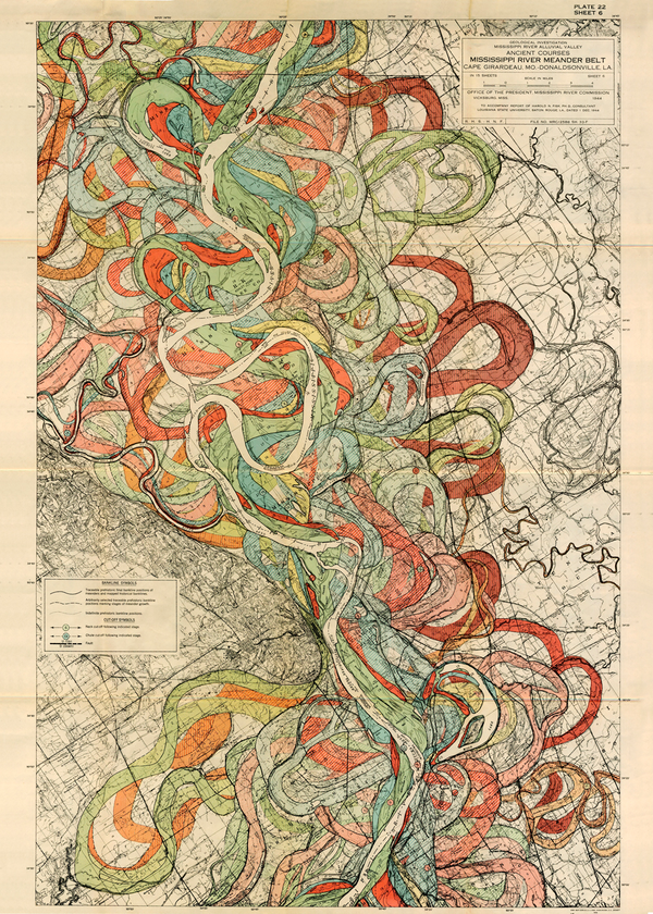
Plate 22, Sheet 6, Ancient Courses Mississippi River Meander Belt

  • $85.00

SHIPPING FOR FRAMES ONLY AVAILABLE WITHIN U.S.

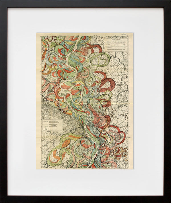
Add Custom Frame

SHIPPING FOR FRAMES ONLY AVAILABLE WITHIN U.S.

Add Custom Frame

SHIPPING FOR FRAMES ONLY AVAILABLE WITHIN U.S.

Add Custom Frame

SHIPPING FOR FRAMES ONLY AVAILABLE WITHIN U.S.

Add Custom Frame

SHIPPING FOR FRAMES ONLY AVAILABLE WITHIN U.S.

Add Custom Frame

SHIPPING FOR FRAMES ONLY AVAILABLE WITHIN U.S.

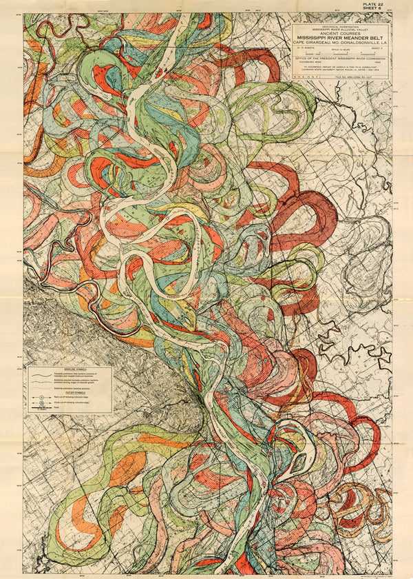
Ancient Courses Mississippi River Meander Belt is a map created by cartographer and geologist Harold Fisk for the U.S. Army Corps of Engineers. Each plate shows a different portion of the Mississippi river and its various courses through time between Cape Girardeau, MO and Donaldsonville, LA, some of these channels date back thousands of years.

The maps were part of his report Geological Investigation of the Alluvial Valley of the Lower Mississippi River completed in 1944. The study was made to learn about the formation of the valley over time, and about the major factors that dictate its flow and flooding in the modern era. The data was collected by creating approximately 16,000 borings so that layers of soil and deposits of sediment from the river's prior courses deep underground could be analyzed.

Fisk drew more than geographic data, he also found the river's heart in this jumble of loops and purls. The river finds its personality reflected in this explosive, autumn-colored palette, its constantly churning rhythm shaping the soil, digging out a constantly changing place so distinctively its own. From prehistory to the 20th century, these maps are made for the ages.

See more views of the Mississippi River Meander Belt here!

[H]is maps drew on more than geographic data—Fisk also found the river's heart in this jumble of loops and purls. The river finds its personality reflected in this explosive, autumn-colored palette, its constantly churning rhythm shaping the soil, digging out a constantly changing place so distinctively its own ... Read more on the blog! 

+ Limited-edition, exclusive to 20x200
+ Museum quality: archival inks, 100% cotton rag paper unless noted
+ Handcrafted custom-framing is available
+ The images in our Mississippi River Meander Belt series are based on original drawings that are of a consistent height but vary slightly in width. These variations are reflected in the dimensions of our print editions. Contact us for exact image dimensions.

Our quoted dimensions are for the size of paper containing the images, not the printed image itself. We do not alter the aspect ratio, nor do we crop or resize the artists’ originals. All of our prints have a minimum border of .5 inches to allow for framing.

Museo PR

Edition Structure:
10"x7" | edition of 20
14"x10" | edition of 500
20"x14" | edition of 50
30"x21" | edition of 25
40"x28" | edition of 10